harnessing your richest data source
Structural Reality
Master the task of structural mapping with industry leading tactics, helping you to to get the job done fast while achieving new levels of reliability.
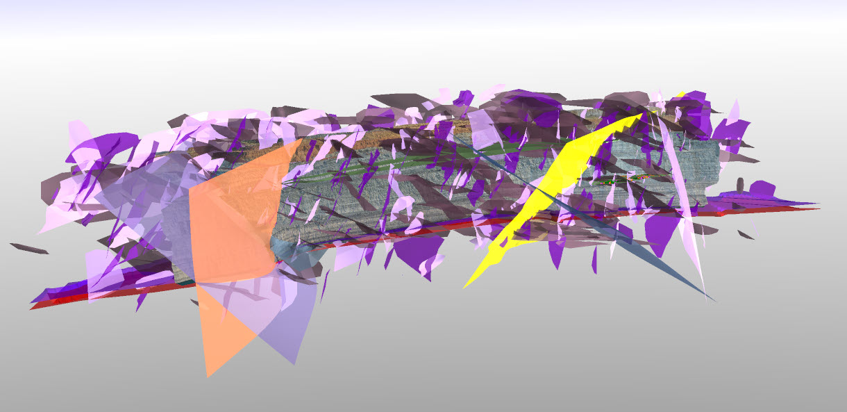
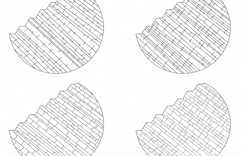
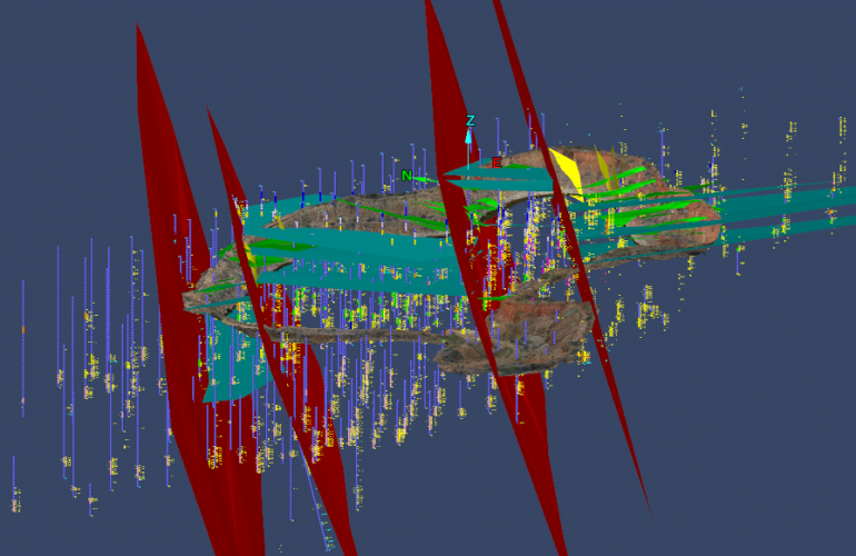
We provide specialist solutions for mapping of faults, fractures and geological structures in rock slope and tunnel environments for direct use in DFN modelling & structural assessments.
We provide specialist solutions for mapping of faults, fractures and geological structures in rock slope and tunnel environments for direct use in DFN modelling & structural assessments.
Why GMEK
Blueprint for mapping, fast

- We specialise in the acquisition of rock data, particularly from active mining and infrastructure projects including hard-to-reach, and remote areas.
- We provide a range of strategies and technologies, helping to navigate these dynamic environments, providing optimal results, and without compromising safety.
- Our purpose-built solutions remove barriers in getting the right information to where it is most needed, fast, making sure you don’t fall behind.
Unlock greater insights

- Gain compliance and confidence in leaving nothing to waste, informing your structural assessments with additional key viewpoints and vital information from areas commonly missed.
- Apply best-in-class techniques for feature measurement and
assessment to derive critical parameters seldom captured or
constrained with existing standards and methods.
Next generation mapping

- Capture the essential parameters required for the new generation of
geologically realistic fracture networks and ground models. - Address prevalent sources of bias in sampling for increased reliability and the best representation of your data.
- Take advantage of new uses for mapping data in proactive planning,
this means less reliance reactionary stability assessments.
Advanced integration

- Seamless integration with a range of industry standard platforms for
assessment and evaluation. - Outputs also supported by the latest generation of structural assessment tools.
- Perform more informed structural
assessments by combining with
additional sources, including borehole geophysical, and seismic datasets in a 3D spatial context.
{"cpt":"blog","style":"1","columns":"3","show":3,"from_category":["civil-and-mining-geotechnics","development","management-services","mineral-exploration","mining","mining-engineering","operational-geology-and-resources","planning","structural-and-engineering-geology","survey-and-geospatial","technical-reporting","tips-advice"],"order":"DESC","orderby":"DESC"}
News

March 25 2024
A new perspective on rock mass
GMEK's Technical Director Michael Munro had the privilege of presenting at the first #BOHOGS technical meeting of 2024. Here is…

March 18 2024
Seeing the patterns in geological structures
If you hadn't the chance to read Maptek's December 2023 Forge magazine, they have published the article covering the modelling…

March 08 2024
Time for a new approach to complex narrow veins
There’s often a reason why it’s hard to find examples of narrow vein models shown next to their surface analogues,…
